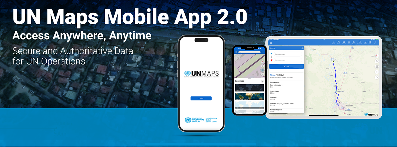
The United Nations Maps Mobile Application (UN Maps App) Version 2.0 is now live for iOS and Android, bringing new capabilities for UN personnel to enhance operational awareness, field safety, and mission readiness – anytime, anywhere.
What’s New in Version 2.0?
- Improved user interface and experience for better performance
- Additional offline map packages covering more missions
- Additional 3D camp data for better situational context
Why It Matters:
Developed by UNGSC, the UN Maps App helps peacekeeping and field mission personnel access accurate geographical data in real time or offline, particularly in remote and connectivity-limited areas. With built-in routing for secure navigation and access to authoritative UN base maps, the app improves operational awareness and supports safety on the ground. It also integrates diverse mission data into a single platform, tailored to address specific operational needs, helping ensure more efficient, informed, and secure field operations.
In addition to UNISFA, UNFICYP, and UNMOGIP, the version 2:00 mobile app supports offline mapping capabilities for the following UN missions: UNSOS, MINUSCA, UNMISS, UNSMIL, UNAMA, UNVMC, BINUH, UNIFIL, UNSOM, and MINURSO.
Download it now for iOS and Android.
For assistance, contact: un.mappers@un.org.