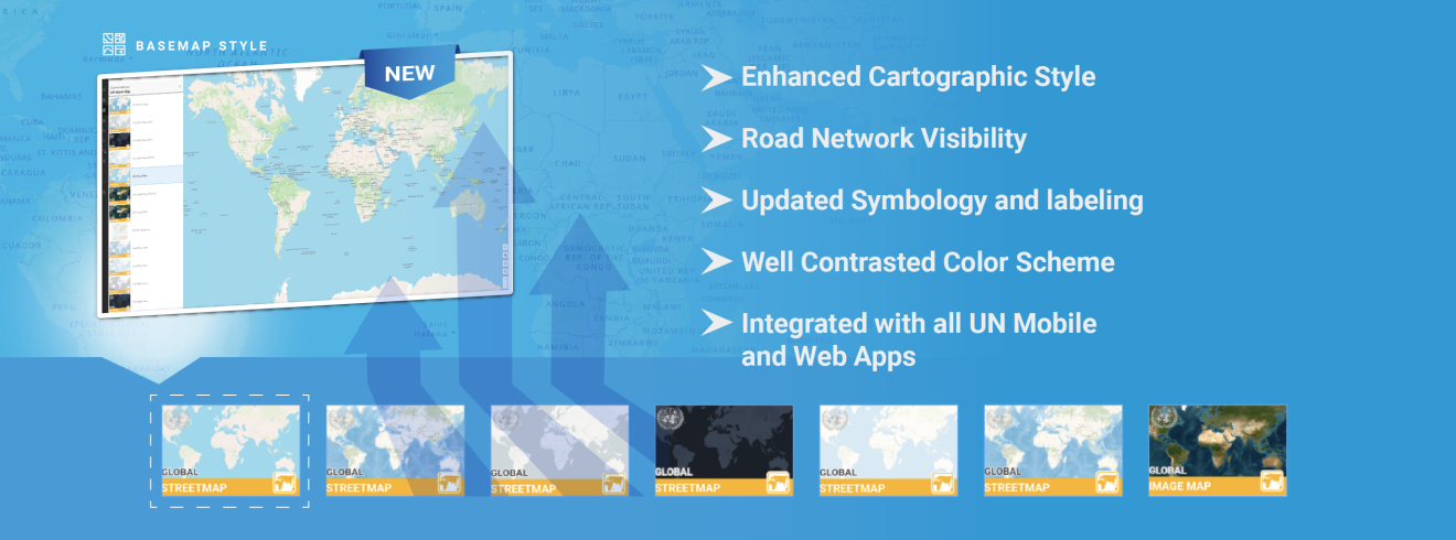
The UN Street Map—used across peacekeeping, humanitarian, and logistical operations—is now updated to make mission planning and field navigation even clearer.
What’s improved:
- Readability of details in both urban and rural areas.
- Road and transport networks are aligned with international standards.
- Distinct symbols for hospitals and pharmacies.
- Optimized contrast and colour schemes.
- Standardized UN geospatial symbols.
Already live, this basemap supports all UN Maps dashboards, services, and mobile/web applications—reinforcing operations, safety and security in the field.
Explore the map today via geoportal or UN Maps web/mobile application and experience mapping built for mission-critical environments.
Explore on Geoportal: https://geoportal.un.org
View on Web: https://geoportal.un.org/webapps/UNMAPS/app.html
Download the Mobile App: https://geoportal.un.org/webapps/UNMAPS/index.html#download