In UN peacekeeping missions, geospatial data and visualization are mission-critical, providing real-time insights that enhance situational awareness, improve coordination, and minimize risks for personnel and communities alike. From mapping patrol routes to identifying hospital locations and tracking troop deployments, geospatial data helps ensure efficient, life-saving operations in complex environments.
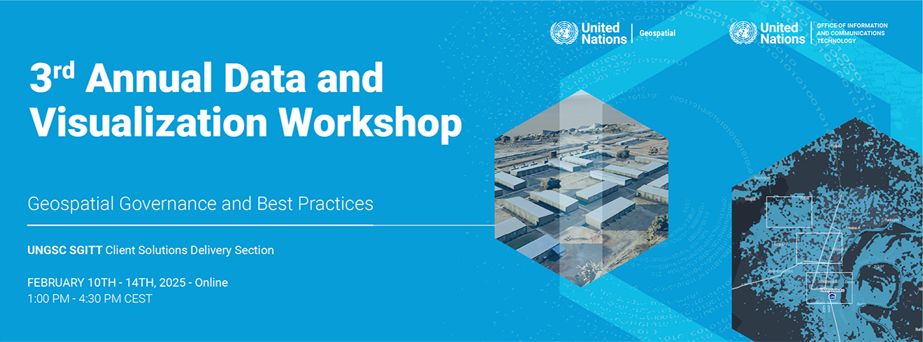
At the Third Annual Data and Visualization Workshop, experts from UNGIS Headquarters, UNGSC, and field missions came together to strengthen geospatial data governance, standardization, and integration—ensuring that peacekeeping operations leverage high-quality, actionable data for greater impact.
Epaphrodite Utabajimana (MONUSCO) shared:
"The workshop has been incredibly insightful, covering crucial topics like data governance, policies, and best practices. These foundational elements are key to enabling effective, data-driven decision-making in the future."
UNGSC extends its gratitude to all participants for their dedication to advancing peace and security through data and innovation.
Get Outlook for iOS