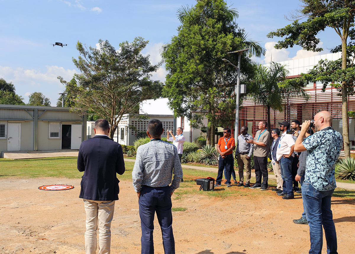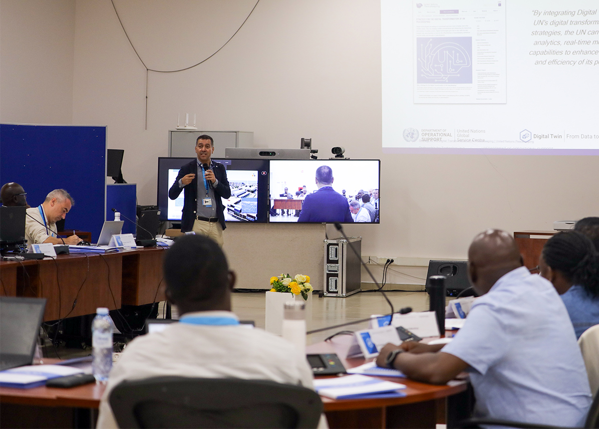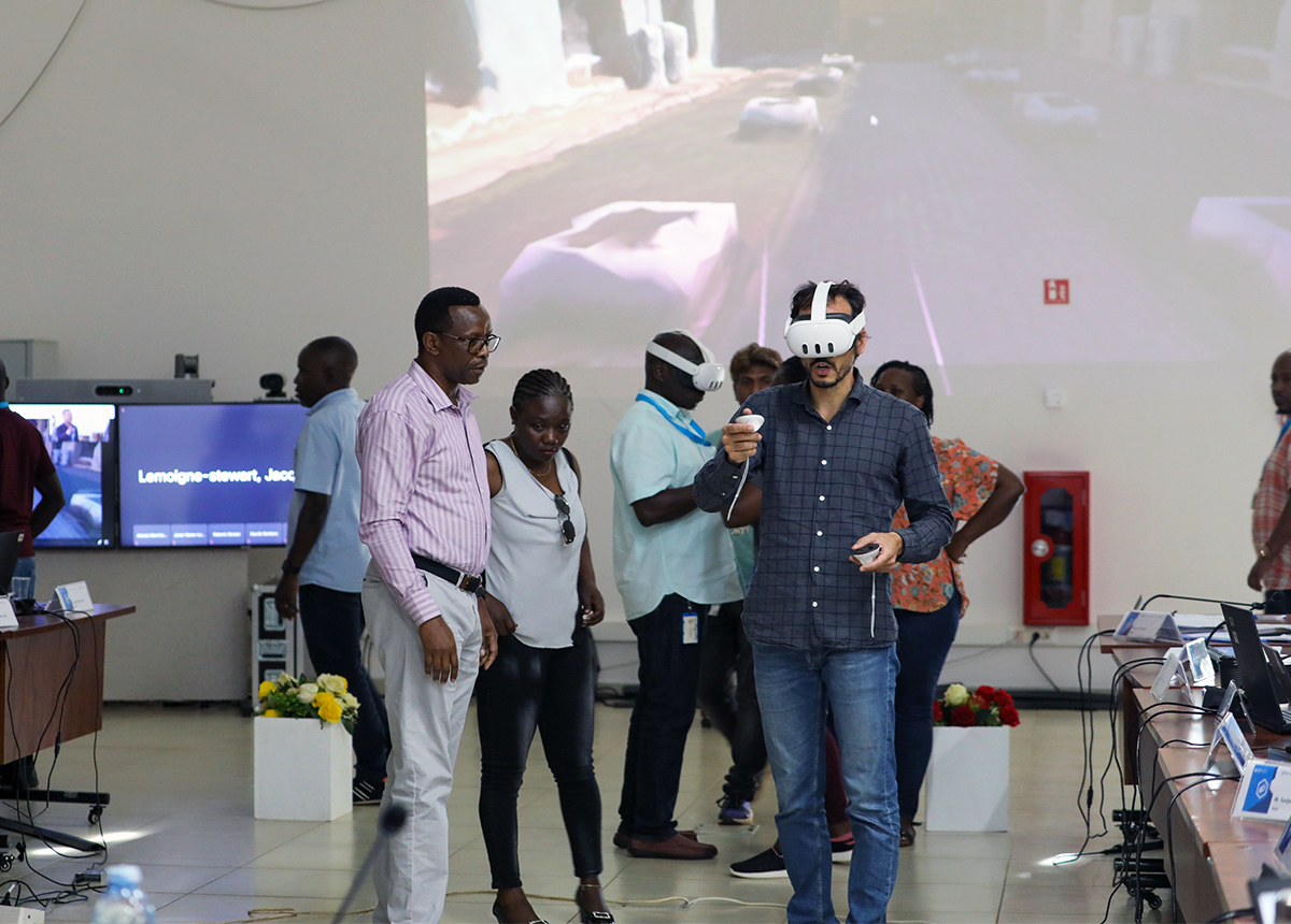
From leveraging cutting-edge technology to integrating advanced mapping services (#UNMaps), and utilizing smart technology (#FRIM, #SmartCamp), participants shared experiences, learned technical workflows, and observed inspiring use cases. They established a community of practice to develop Digital Twins to enhance situational awareness, improve planning, and mitigate risk situations in field offices. These tools will better support informed and proactive decision-making.
“This workshop imparted valuable techniques on how to build digital twins,” noted Yongping Zhao, Geographic Information System (GIS) Chief, United Nations Interim Security Force for Abyei (UNISFA).
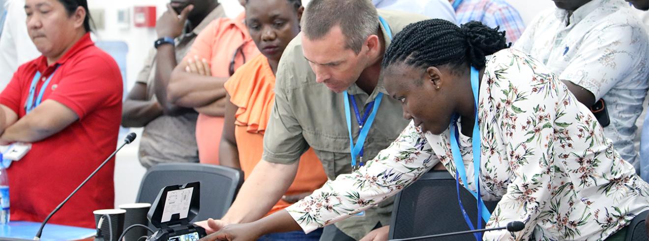
“This technology is instrumental in ensuring the security and safety of the staff members,” commented George Ochieng, Security Officer, Regional Service Centre Entebbe (RSCE).
A special thank you to all field mission representatives, industry professionals, and stakeholders for their invaluable contributions and to #RSCE for hosting us and helping make this workshop a success.
For more information, contact UNGSC-csds-vmu@un.org