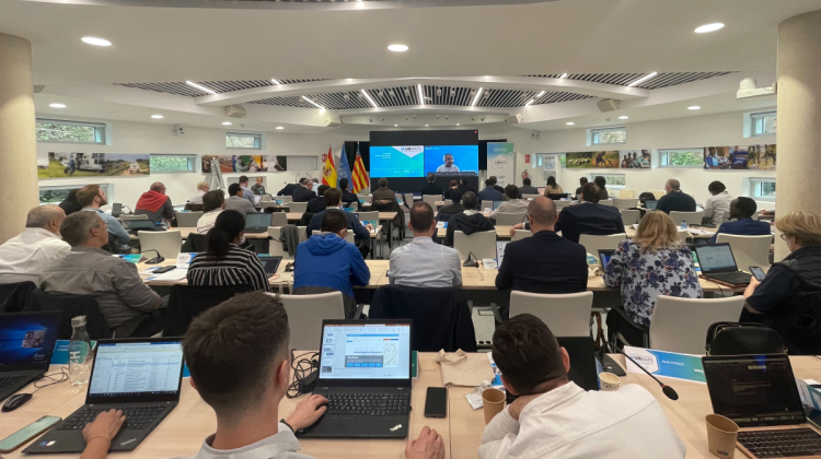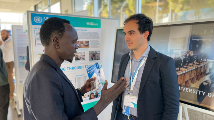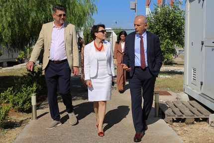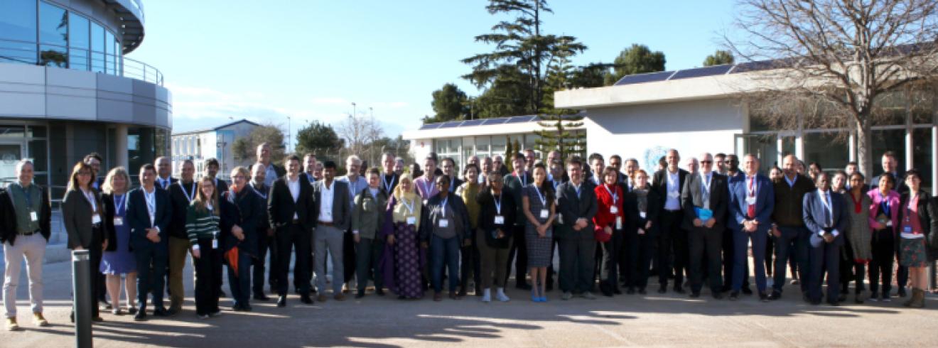
The Second United Nations Maps Conference (UNICTF, Valencia, Spain, 6 - 10 March 2023) lived up to its central theme "Building greater UN Maps Together," as 90 participants, hailing from 45 UN entities and external partners, gathered to strengthen coordination, collaboration, and the capacity of geospatial information to meet global challenges such as climate change, food insecurity, and access to care and education.
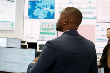
The Conference showcased UN Maps, an innovative UN project, currently used in peacekeeping, which uses UN authoritative, as well as crowd-based data collection, automated data pipelines, online analytics tools, and self-service geospatial applications for accessible, secure, and interoperable data services.
Hosted by Mr Michel Bergeron, Chief of SGITT, with keynote speeches and presentations from various UN entities and partners, the conference focused on mapping at the UN, data management, governance, and information sharing, as well as the enabling technology behind UN Maps. Discussions highlighted the work of UNGSC and several UN entities around geospatial data sharing, coordination, and partnership.
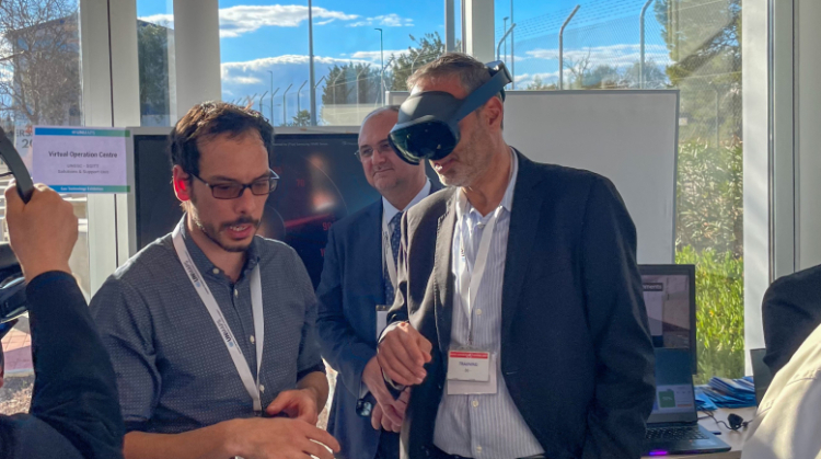
Mr Bernardo Mariano Junior, UN Chief Information Technology Officer, reinforced the key message of “Delivering as One,” while Mr Alexandre Caldas, Chair of the UN Geospatial Network, explained how UN Maps will be used as an enabler for the One UN Geospatial Situation Room concept. Representatives from various UN entities demonstrated how geospatial information measures progress towards the Sustainable Development Goals. A Tech Fair and an Exhibition, organized alongside the conference, offered UN staff the chance to browse state-of-the-art technologies related to the Internet of Things, Digital Twin, Extended Reality, UAVs, geo-analytics, and to see them in action.
The five-day event demonstrated how improving our capacity to collect and analyse location data will advance the UN’s Digital Transformation. It culminated with the Valencia Declaration, which sets out a plan to strengthen coordination and sharing mechanisms on geospatial information within the United Nations using UN Maps.
Contact Diego Gonzalez gonzalezferreiro@un.org to learn more.