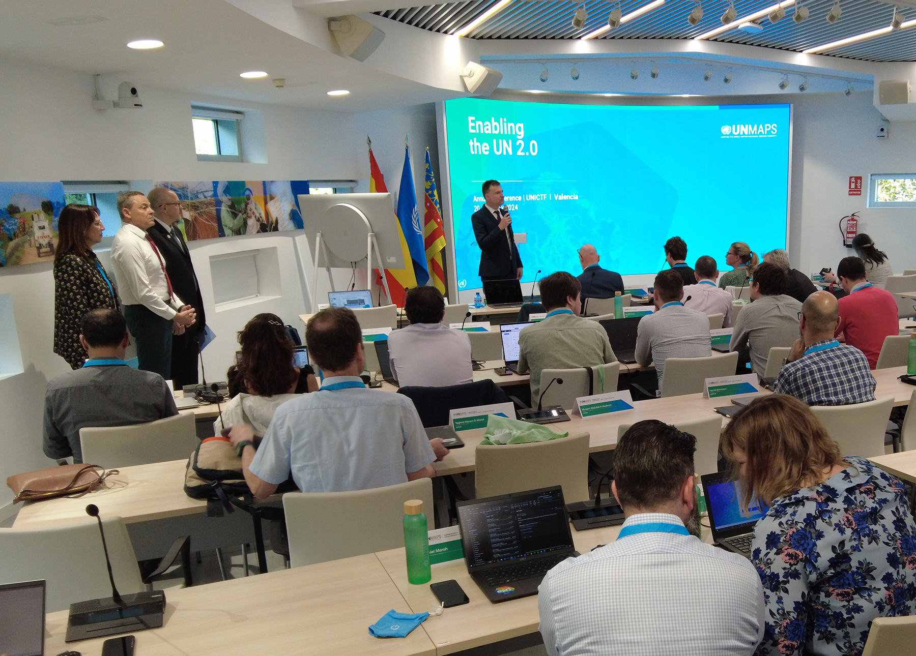
“UN 2.0” is a vision of a modernized UN system: cutting-edge skills and forward-thinking culture that enable UN entities to better contribute to the quest for the SDGs.” – UN 2.0 Quintet of Change Policy Brief
In this vision of a modernized United Nations, UN Maps is a key enabler, leveraging the transformative capabilities of digital technology to serve the UN’s objectives across its pillars.
The innovative platform coordinated by UNGSC in partnership with the Office of Information and Communications Technology, combines UN authoritative data with crowdsourcing, effectively engaging civil society worldwide in contributing to the UN’s mapping needs and supporting state-building activities in countries not adequately represented by commercial mapping services.
Initially designed to serve the needs of peace operations, and informed by the needs of field missions, UN Maps has become a catalyst for broader cooperation across the UN system. Already serving in multiple instances of crisis response, such as mapping thousands of missing buildings in the aftermath of major earthquakes and floods, a growing number of UN entities are now contributing their data to the platform.
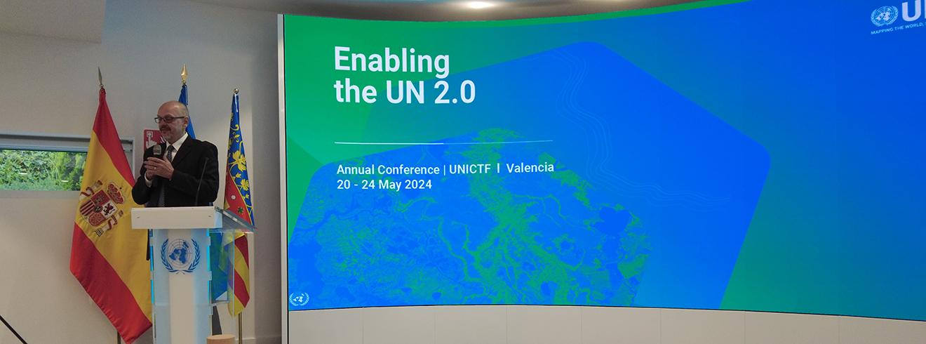
This year’s Conference, attended by 90 international participants, builds on these achievements—advancing information-sharing, comprehensive coverage of the UN’s diverse activities in the field, as well as greater coordination and data-driven decision making with life-saving implications. Expected results include:
- Capitalizing on UN Maps as a forum and enabler for the exchange of knowledge, the creation of synergy, and to favor collaboration and partnership on geospatial technology
- Improving data-sharing mechanisms, specifically on authoritative administrative and place names data
- Leveraging UN Maps as an enabling service for the UN and contributing decisively to the transparent access and use of Geospatial Data as a digital public good
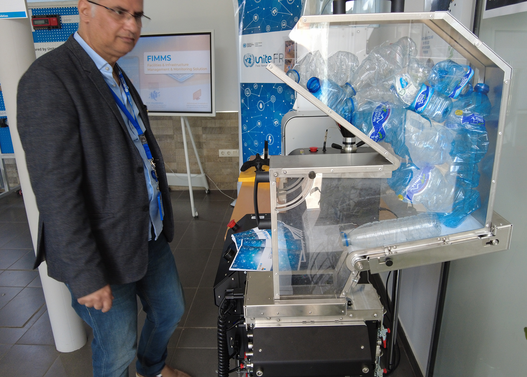
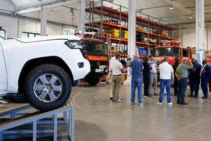
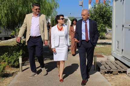
Hosted at UNGSC’s Base in Valencia, the United Nations Information and Communication Technology Facility (UNICTF), the Conference also includes a Tech Fair showcasing solutions in the geospatial field, with exhibitions from HeiGIT from Heidelberg University, Universidad Jaume I, and Politecnico di Milano, and from various UN entities such as UNGSC and the UN Office for Outer Space Affairs (UNOOSA). Aligning with the City of Valencia’s growing status as a tech hub in Spain, the Conference reception was being hosted by the President of the Generalitat of Valencia.